Drones
It is important to leverage the most advanced technologies to meet the challenges of increasingly complex site investigations and inspections. The use of drones (Unmanned Aerial Vehicles or, UAVs) equipped with one or more wide range sensor and/or camera has become a cost- effective and safer alternative to expensive and potentially high-risk conventional inspections. GSI’s licensed commercial drone pilots utilize UAVs equipped with applicable cameras and sensors to provide our clients with cost-effective inspections and surveys.
UAVs for Facility Investigations and Inspections
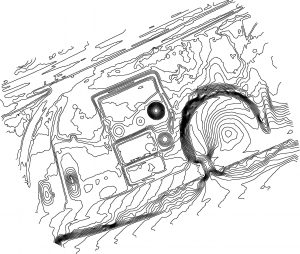
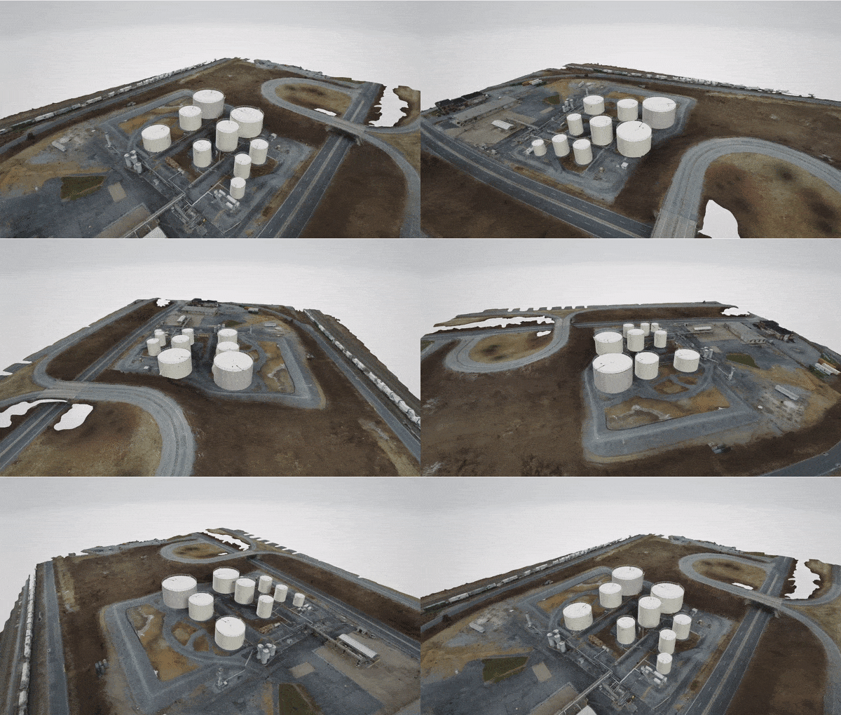
Oil and Gas - From bulk petroleum terminals to pipelines and refineries, GSI can provide UAV-based inspections quickly from the air. These flights are capable of high-altitude surveying as well as close-up inspections. Aerial survey data can also be used to generate site topographic maps and dike field capacity calculations. When combined with a Forward-looking infrared (FLIR) thermal imaging camera images can be reviewed in real time to identify hot spots, individual gas leaks, structural weaknesses, and much more, allowing for a quick response at reduced risk.
Power Lines - Often inspected using expensive helicopter-based systems, power lines can be more easily and efficiently inspected using UAVs. GSI uses UAV-deployed cameras capable of capturing 16 megapixel photos and 4K video to provide enough detail for fine post-inspection analysis, while the live feed allows inspectors to look for significant issues in real time.
Solar - From rooftop solar panels to large solar farms, UAV-deployed thermal camera inspections can deliver substantial cost savings over manual inspections and be completed in a shorter time. An overhead flight using 4K video provides the image clarity needed to carry out initial inspections, and facility personnel are only required to investigate those problematic areas identified during the flight.
Wind - Wind turbines present unique challenges for maintenance inspections. Current inspection methods require extensive downtime and planning. UAVs are able to fly precisely and accurately in close proximity to the turbine, reducing the need for potentially risky manual inspections. UAVs are also programmed with use sense and avoid technologies to minimize the potential for collision.

Other applications include:
- Agriculture
- Forestry
- Terrain Modeling
- Archaeology
- Mine Inspections
Ask How GSI Aerial Services Can Benefit Your Business
To learn how drones can help advance your company's site inspection and survey needs, contact GSI today.
CONTACT US

"We’ve used Groundwater Services International (GSI) for nearly 30 years and they have never let us down. GSI is staffed with good and easy to work with professionals. Their service levels, attention to detail, responsiveness, breadth and width of capabilities are truly excellent and world class. They can handle smaller clients and jobs as well as extremely large and complicated ones. When we sold our very large companies with an extremely short timeline, it was a real effort to get all of our properties fully delineated with Phase I’s and Phase II’s in a very short time period. They were able to pull it off very well and it was quite a feat. To me, that was real life proof of just how capable they are."
John Arnold, Chairman, PPC Lubricants, Inc., Former Owner Petroleum Products Corp.

